
Camí de Cavalls. Stage 14:
Cala Galdana – Cala Mitjana – Sant Tomàs
If you want to discover what the forests of Menorca’s southern coast are like, this stage of the Camí de Cavalls is a great opportunity, taking you through Cala Mitjana, one of the unspoilt coves on the southern coast that draws the most visitors during the summer months.
The stage begins in the upper-most part of the residential area of Cala Galdana (eastern end). After a few minutes walking, the path takes you to Cala Mitjaneta and then to Cala Mitjana, one of the most popular unspoilt beaches on Menorca’s southern coast and blessed with an excellent shady picnic spot under its pines. From here, the route enters the woods and remains there until the end of the stage. After various ups and downs, the path drops down to the gully of Barranc de Trebalúger and the gully of Albranca, which you cross on a wooden footbridge. Still in the woods and after climbing out of and then back down, you reach the bottom of Barranc de Binigaus. Keep right and head for the beach; follow the coastline with the sea on one side and fields on the other, and you will soon reach Sant Tomàs.
Distance: 10.8 km • Difficulty: Average • Estimated walking time: 4 h
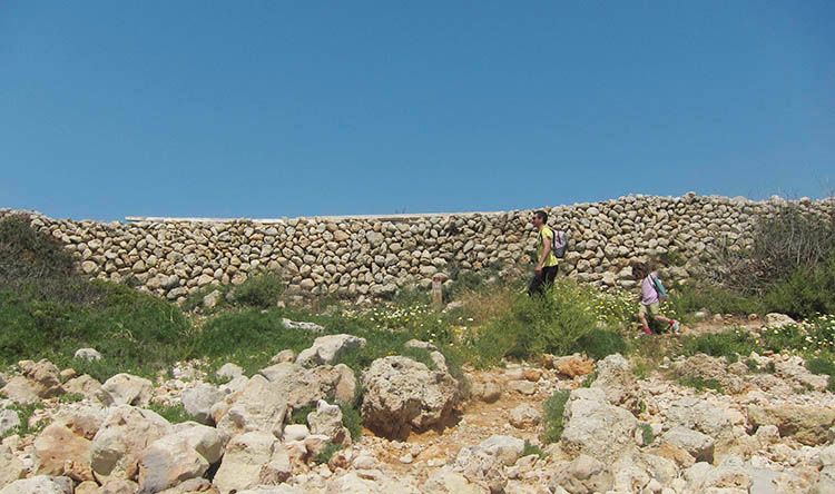
Be sure to shut all gates after you since they are used to control the cattle.

The surroundings
This stage of the Camí de Cavalls is an excellent way of getting to know the woods and forests of the southern coast of Menorca. Most of this part of the long-distance footpath runs through woodland of different thickness, where in spring the songs of the nightingale, chaffinch and other woodland birds are ever present. The forest of Aleppo pines only changes to wild olives and holm oaks in the most sheltered part of the stage in the lower parts of the three gullies you cross en route. Trebalúger, Albranca and Binigaus are all good examples of the typical gullies that run down off the limestone plateau of central Menorca to the southern coast. At both ends of the walk you cross two unforgettable unspoilt beaches: Cala Mitjana and the beach at Binigaus. The latter marks the end of the main area of cliffs and gullies that characterizes the western section of the island’s southern coastline and the beginning of the flatter and smoother central sector of coast.

Don’t miss
• Cala Mitjana: One of the best-loved and most visited of white-sand and turquoise-waters beaches on the southern coast of Menorca. Good access by car to the beach and picnic site.
• Cala Mitjana quarry: Between Cala Mitjana and Cala Mitjaneta there is an abandoned limestone quarry from where stone was extracted for building.
Nearby sites of interest
• Cova des Coloms: If you make a detour from the Camí de Cavalls and follow the path up Barranc de Binigaus, you will come to a cave, Cova dels Coloms, known as the ‘Cathedral’ due to its size.
• Cala Trebalúger: From Cala Mitjana, a 30-minute detour from the Camí de Cavalls along a path following the coast will take you to Trebalúger, a beach formed at the mouth of this gully with an interesting wetland hidden behind it.
Services
• Cala Galdana and Sant Tomàs: Residential and tourist areas with all types of facilities, above all during the high season.
How to get there
Both ends of the stage are accessible by car (Cala Galdana and Sant Tomàs) and there is plenty of space for parking.
Cala Galdana is 8 km south of Ferreries. At the roundabout just before the road begins to drop down to the beach, turn left towards an excellent viewpoint, Mirador de sa Punta. Following the directions to Cala Mitjana, turn left along Carrer del Camí de Cavalls to find the start of this stage.
Sant Tomàs is 2 km from Migjorn Gran, a town that can be reached along different routes from Ferreries (10 km), Es Mercadal (11 km) and Alaior (15.5 km) depending on your starting point.
During the high season, a bus runs to Cala Galdana from Maó, Ciutadella, Alaior, Es Mercadal and Ferreries. Sant Tomàs can be reached by bus from Maó, Ciutadella, Alaior, Es Mercadal, Ferreries and Es Migjorn Gran. Check out bus times and frequencies (that vary according to the season).
Accommodation and logistics on the Camí de Cavalls
Find accommodation in Cala Galdana.
Find accommodation in Sant Tomàs.
If you want to go through the Camí de Cavalls in stages, either a part or all of it, you have to plan your trek well. There are no accommodation for trekkers on the path, so you will have to make use of the touristic accommodations you will find on the route. That is the reason why making the route outside the tourist season could be somewhat complicated.
It is important to adapt the route plan to your physical condition and your experience as a trekker. In many cases, the ideal choice is to hire a logistic service for you to resolve those shortcomings. This way, you will be able to get the most out of the experience.
Camí de Cavalls 360º is a specialized travel agency that helps you to make the route in stages, in a self-guided manner and with a series of related services (among others, accommodation and logistics). Camí de Cavalls 360º offers you different choices to traverse the Camí de Cavalls with autonomy, always adapting to your needs.
Map of stage 14 of the Camí de Cavalls
See all stages of the Camí de Cavalls
The Camí de Cavalls is divided up into 20 stages that can be walked as a single long hike or individually in sections, or can be used simply as somewhere go for a stroll. Discover Menorca here describes the official stages as 20 separate day-long walks, using the morning for the outward bound stretch and the afternoon for the return.
This stage of the Camí de Cavalls passes through a fine example of a windswept coastal landscape, especially between Sa Mesquida and the Macar de Binillautí.
All of this stage of the Camí de Cavalls runs through S’Albufera des Grau Natural Park. It is an excellent walk for getting to know a variety of different habitats…
Much of this stage of the Camí de Cavalls runs through the S’Albufera des Grau Natural Park and many of its very diverse landscapes.
This stage of the Camí de Cavalls begins at the far western end of the built-up area of Arenal d’en Castell. Walk for 10 minutes along the cliff-top path as far as Son Parc…
This stage of the Camí de Cavalls passes through one of the best-preserved parts of the Menorcan coastline. The EU has declared it to be an Area of Community Importance and and a Special Protection…
This is the longest and hardest of all the stages of the Camí de Cavalls and, unsurprisingly, also one of the most spectacular.
This stage of the Camí de Cavalls is characterized by the number of different habitats it visits. Around Cala Pilar a large number of endemic plants thrive alongside the more typical plants of…
This stage of the Camí de Cavalls leaves the fertile and wooded area of La Vall d’Algaiarens to enter a landscape dominated by low, scattered vegetation and ends at Cala Morell, one of Menorca’s geological jewels.
This stage of the Camí de Cavalls runs entirely through what is known as dry Menorca, characterized by sparse vegetation and endless rows of dry stone walls, ending near the Punta Nati lighthouse.
This stage of the Camí de Cavalls, between Punta Nati and Pont d’en Gil runs through what is known as “Dry Menorca”, characterized by sparse vegetation and endless rows of dry-stone walls. It then passes through several residential areas before reaching Ciutadella de Menorca.
From Cala Blanca onwards and as far as the end of the stage, the flat path follows low coastal cliffs that harbour an interesting plant community.
This stretch of the Camí de Cavalls is flat and climbs very little. The landscape over much of this stage is dominated by a rocky coastline alternating with small coves.
One of the great attractions of stage 13 of the Camí de Cavalls are the unspoilt beaches of Cala en Turqueta, Macarella and Macarelleta, some of the most iconic — and also overcrowded — beaches on the southern coast of Menorca.
If you want to discover what the forests of Menorca’s southern coast are like, this stage of the Camí de Cavalls is a great opportunity, taking you through Cala Mitjana, one of the unspoilt coves on the southern coast that draws the most visitors during the summer months.
The route of stage 15 of the Camí de Cavalls is flat and not very rugged, never reaching any significant elevation. Even so, it passes through quite varied habitats, such as urban areas, inland ravines, low rocky coastline, coastal dunes, fields and pastures.
The route of stage 16 of the Camí de Cavalls runs almost entirely inland, connecting two important ravines on the southern coast of Menorca: the Llucalari ravine and the Cala en Porter ravine.
Stage 17 of the Camí de Cavalls runs almost entirely through the interior, crossing ravines along the southern coast, alternating with the typical Menorcan mosaic landscape of croplands, pastures and small wild olive groves.
Stage 18 of the Camí de Cavalls runs almost entirely through streets and paved roads of numerous residential developments, with the exception of two small remaining dirt path sections at the beginning and end of the route.
Stage 19 of the Camí de Cavalls covers part of the eastern coast of Menorca and crosses the Rafalet ravine. Along the way, it passes important vestiges of the island’s military history, such as the Alcalfar tower and Fort Marlborough, in Cala Sant Esteve, at the end of the stage.
A 100% paved and mainly urban stage that connects and crosses the towns of Maó and Es Castell, walking parallel to the Port of Maó.
The best walks and excursions around the coast of Menorca along the Camí de Cavalls (GR-223), an ideal way of exploring the island’s coastline at your leisure. Unspoilt beaches, rocky outcrops, pinewoods and sea-cliffs step-by-step.
The Menorcan interactive map with the 20 stages of the Camí the Cavalls (GR 223) and much more…